Documentation
#Filament LeafLet GeoSearch


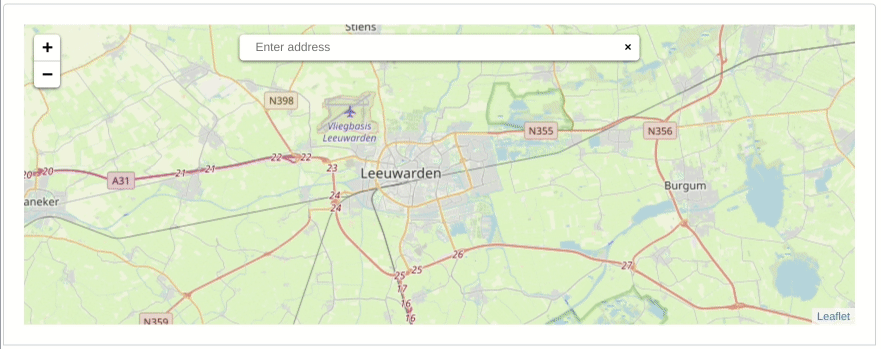
This package provides a Filament Form Field integration of the LeafLet GeoSearch package https://github.com/smeijer/leaflet-geosearch
#Installation
You can install the package via composer:
composer require heloufir/filament-leaflet-geosearch
You need to publish assets used by this package:
php artisan vendor:publish --tag=filament-leaflet-geosearch-assets
#Usage
#Model configuration
In your model you need to add the location column cast:
<?php
namespace App\Models;
use Illuminate\Database\Eloquent\Model;
class MyModel extends Model
{
// ...
protected $casts = [
'location' => 'object'
];
}
Important: The location column must have the longText type in your migration (see the example below)
// ...
Schema::create('my_models', function (Blueprint $table) {
// ...
$table->longText('location');
// ...
});
// ...
#Field usage
Now that you have configured your model, you can use the LeafletInput into your Filament Resource form schema:
use Heloufir\FilamentLeafLetGeoSearch\Forms\Components\LeafletInput;
public static function form(Form $form): Form
{
return $form
->schema([
// ...
LeafletInput::make('location')
->setMapHeight(300) // Here you can specify a map height in pixels, by default the height is equal to 200
->setZoomControl(false) // Here you can enable/disable zoom control on the map (default: true)
->setScrollWheelZoom(false) // Here you can enable/disable zoom on wheel scroll (default: true)
->setZoomLevel(3) // Here you can change the default zoom level (when the map is loaded for the first time), default value is 10
->required()
// ...
]);
}
#Good to know
The object stored into the location database column have the following format:
{
x: Number, // lon,
y: Number, // lat,
label: String, // formatted address
bounds: [
[Number, Number], // s, w - lat, lon
[Number, Number], // n, e - lat, lon
],
raw: {}, // raw provider result
}
#Credits
#License
The MIT License (MIT). Please see License File for more information.
